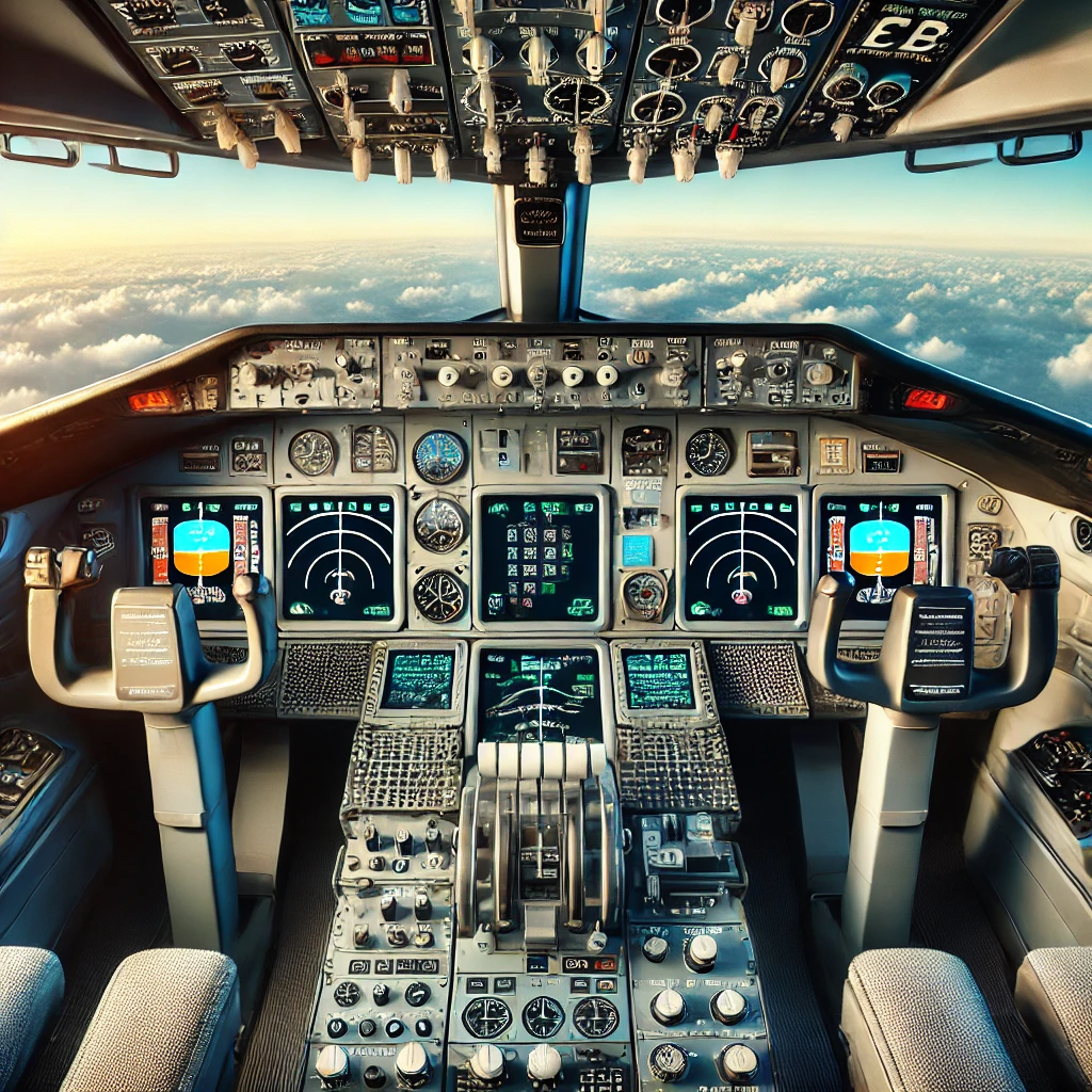
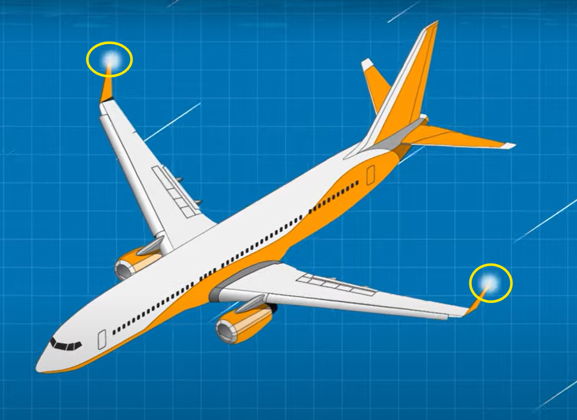
Flying in the sky where clouds resemble candy floss, and the horizon stretches infinitely, our flight navigation systems are the unseen forces making sure every aircraft gets to its destination safely. Ever wondered how the pilots know where they are or how they know for a certainty that their path will lead them to the programmed destination? These technologies have transformed aviation as we know it for the better by giving every traveler precision and safety at every altitude.
From ancient methods of navigating by the stars to modern GPS systems, flight navigation has developed significantly over the years. As you explore this world, you will understand how several systems interact to steer a plane through multifaceted airspace and weather systems. So sit back and enjoy as we highlight the core components that enable contemporary flight!
Just like every other advancement of the human race, the development of flight navigation systems traces back to man’s curiosity to fly. In the earlier years of flying, aviators used extremely basic technologies such as dead reckoning and celestial navigation which depended on flight paths as well as stars.
As time progressed, aviation technology progressed along with navigational methods. The 1930s saw the introduction of radio navigational aids which raised a huge milestone for the aviation industry as now, pilots could more accurately determine their location.
Midway through the 20th century is when aircraft navigation began to undergo radical changes thanks to the introduction of technologies like radar. This shift ensured that real time information on weather and other obstacles was available.
The late 20th century saw the introduction of satellites which completely changed air travel with the introduction of global positioning systems. now, pilots had unmatchable accuracy in determining location and ensuring safety during flights regardless of the distance.
Modern flight navigation systems rely on an advanced assortment of tools and devices to facilitate accurate and safe flying.
Global Positioning System, or GPS, might be regarded as the most familiar piece of hardware. It interacts with satellites situated in space (propelling around Earth) to provide real-time location with remarkable accuracy. With respect to aviation, GPS helps ascertain the position of the aircraft.
Another critical component are the Inertial Navigation Systems (INS). They measure the movement of a vessel using onboard sensors relative to a known position. The sensors track the speed and the direction the ship is moving in without any external assistance.
Route formulation is also assisted by Flight Management Computers (FMC). These specialized computers manage the data to the extent that the paths will get executed as per the set instructions.
With the help of Distance Measuring Equipment (DME) pilots can determine how far they are from a certain navigational aid and at the same time Automatic Direction Finders (ADF) help with the determination of the direction of the radio signals from the ground stations.
DME gives reliable information about the bounds of the aircraft using radio signals from ground stations, the VHF Omnidirectional Range (VOR) facilitates the referencing the position of the aircraft against the predefined check points. All the citable components are crucial to increase the navigation accuracy within modern aviation activities.
Global Positioning System (GPS)
The Global Positioning System, or simply GPS, changed the landscape of navigation in aviation. It was first developed by the military of the United States in the 1970s and became fully available for civilian use in the 1990s.
This system works by satellites orbiting the globe and allows planes to track their position globally without restriction. GPS onboard the aircraft tracks signals being received from satellites that are continuously orbiting Earth.
An aircraft can determine its accurate position within meters by triangulating signals from satellites with its GPS receiver. The precision contributes greatly to safety in aviation alongside well-planned flight routes.
Today’s pilots use GPS for all flight management phases, from planing to landing. Modern Aircrafts built with advanced GPS avionics systems allows better awareness of obstacles on the aircraft’s path when flying. Further improvements such as augmented reality displays will ease the execution of flight plans even more in the future.
Inertial Navigation Systems are also part of the essentials in navigation for aircrafts. They help track the position and direction of the aircraft and its speed in relation to the ground without any external reference points. This system works by measuring changes in velocity, position, and direction using a set of accelerometers and gyroscopes to provide real-time movement data.
These sensors identify changes in speed and direction as the aircraft moves. The information is calculated in a way that updates the location of the aircraft in three dimensions. This helps the New Zealand pilots to accurately navigate even when flying over oceans or remote places where GPS signals are weak or unavailable.
INS has an added advantage of being independent from outside influences. Jamming signals or any sort of weather disruptions like fog or rain cannot affect it. For this reason, it increases the flight’s reliability on crucial journeys.
Furthermore, integrating INS with other systems on board newer aircraft has been made easier due to compact and efficient designs emerging from modernization.
FMCs (Flight Management Computers)
FMCs play a vital role in aviation. They act as ‘the brain’ of a plane’s navigation system as they manage all associated inputs for the flight, using them to precise calculations.
FMCs also gather information from a myriad of sources like GPS, weather forecasts, and air traffic issues in real-time changing. From this data, FMCs work out efficient routes and automatically relay timely updates to the pilots.
FMCs also manage sophisticated calculations involving fuel restrictions alongside aircraft weight to heighten safety and efficiency during a flight.
Pilots engage with the Flight Management System (FMS) via friendly interfaces. They can make changes to routes and set new parameters with minimal clicks or taps and still maintain operational flow.
Such technology not only improves the accuracy of flight navigation, but also facilitates the flow of communication within the cockpit. For this reason, the Flight Management Computers FMCs are essential in modern aviation.
Distance Measuring Equipment (DME)
Distance Measuring Equipment or the DME is of great significance when it comes to aviation navigation in the air. This equipment aids pilots in determining their distance from ground stations, thereby improving their situational awareness during flights.
DME measures the distance from the aircraft by sending out radio signals. The DME signal is sent to the plane where it is reflected back to the ground station. The time taken for the round trip allows the system to measure the approximate distance accurately.
This technology is extremely useful during approach and landing phases since it assists in safe altitude controls and vertical separation between the aircrafts. The accurate distance information provided enables pilots to make better and more effective decisions at critical stages when navigating congested airspace.
The DME augments other conventional systems of navigation like VOR and GPS. This amalgamation bolsters the overall navigation accuracy and reliability for aviators operating in today’s congested airspace.
Automatic Direction Finder (ADF)
An Automatic Direction Finder (ADF) is one of the most important instruments in the flight navigation system. ADF enables pilots to establish the vessel’s bearing in respect to radiated signals from ground-based navigational aids.
ADF is built from two major components, the receiver and the directional antenna. The receiver collects signals from a number of low radio frequency beacons. These can be directional beacons (NDBs) that broadcast a signal without interruption.
Pilots deploy ADF to form a position with respect to the time signal for purposes of estimating the altitude for descent – this enhances their awareness of the flying environment. The instrument also becomes handy under poor visibility conditions when visual references are minimal.
The Advance Delta Flight (ADF) system provides real-time directional guidance to approach procedures and various holds within controlled airspace. Because of its usefulness in approach and hold guidance, the Advance Delta Flight system has become standard aviation equipment for commercial and private flying.
VHF Omnidirectional Range (VOR)
VHF Omnidirectional Range, or VOR is one of the most important system of aviation navigation. It operates elsethe very high frequency band and serves as a radio beacon for pilots.
When an aircraft is within the flying zone, the position of the aircraft concerning the VOR station positioned at the ground can be determined, and the pilot can navigate along airways with high levels of accuracy.
The technology functions by sending out signals with directional information. A pilot’s receiver interprets these signals to determine bearings towards and from the station.
What makes VOR different from the rest is its capability of delivering guidance without regard to weather conditions. VOR works well in the day and in the night and does not depend on visual systems like certain others do.
In a lot of ways, it does resemble an old compass, however, it is invisible and helps guide the aircraft through crowded airspace. This system’s dependability has allowed it to be widely used in general and commercial aviation for many years, and it is very useful.
How These Components Work Together
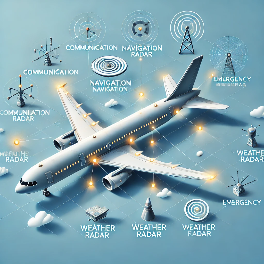
Modern flight navigation systems are effective because their components work together. At the core, satellites provide the precise location of the aircraft. This data is fundamental to accomplish the desired position.
GPS is strategically paired with satellite data to ensure better accuracy and position while aircraft is in the air. These ensure that aircraft is able to fulfill it’s navigational requirements even during weak programs.
The “brain” of this strategic coordination is the Flight Management Computers (FMC). The defined routes can be interacted with, and further simplified in real-time. Portions from GPS and INS need to be fed for better sytem output, which is realized during route changes. Further enhancements are constant adjustments.
Distance Measuring Equipment (DME) complements ground stations and radar, furthering situational awareness, while VOR and ADF provide directional guidance support.
All of these components work together to form a system that significantly increases safety and efficiency during all aspects of a flight.
Modern changes in aviation navigation technologies have fundamentally changed how aircraft are operated. One of the most important changes is the new technology known as RNAV, or Area Navigation. Under such a system, pilots are able to operate on any desired flight path rather than having to navigate through predetermined airways, which greatly increases routing efficiency.
Another advancement is Required Navigation Performance (RNP). This is a more sophisticated form of RNAV, but requires a particular standard of accuracy and dependability. RNP systems enable precise approaches and departures even in difficulty settings.
These improvements allow for more direct routes, which increases safety and reduces fuel emissions.
Furthermore, integration with satellite-based systems serves to greatly enhance the potential for live data sharing between fleets. With further technological advances, there is a promise for more alterations that will continue to enhance standards and capabilities for aviation as a whole.
Area navigation or RNAV is a new way of navigating aircraft within a specific airspace. Unlike the old methods which used ground-based navigational aids, RNAV enables pilots to establish a direct flight path between waypoints.
Phones utilize geolocation and GPS tracking, which assists in enhanced positioning through databases onboard. It is possible to enter coordinates directly into the Flight Management Computer (FMC), allowing pilots to create routes that are much more efficient, saving both time and fuel.
One of the straight line benefits is reduction of approaches to traffic congested areas enabling curved approaches rather than straight ones. This increased safety allows for better distance management in congested airspace and significantly decreases the noise footprint near surrounding the airport.
In addition, RNAV adapts to different operation performance levels, therefore supporting a wide range of activities. From general aviation to commercial airlines, it’s adaptability makes the system an important part of modern aviation technologies. Its effective integration with other systems ensures that pilots retain optimal situational awareness throughout their flights in navigation zones with complex airspaces.
Required Navigation Performance, or RNP, is an important step towards enhanced flight navigation systems. It establishes the accuracy and performance criteria for aircraft flying in controlled airspace.
RNP differs from other navigational approaches because it integrates modern technology and guarantees precise trajectory tracking. This system allows Aircraft to operate safely within defined corridors even in the worst environments.
The capacity to furnish real-time updates regarding an aircraft’s position is one of its key features. Information helps in making the right choices in split decisions, improving the safety and effectiveness of every flight.
Manned vehicle operation introduces additional challenges. Timely alert data must be action within an appropriate timeline. Overreaction or inaccurate decisions taken in times of stress can worsen the scenario even with technologically advanced systems.
Lastly, different countries not having uniform regulations poses problems to standard air traffic control processes and global practices of navigation.
In modern aviation, flight navigation systems are critical for maintaining operational safety today. The monitors direct the planes throughout the intricate airspaces and ensure the aircrafts are routed precisely from the point of departure to arrival.
During peak air traffic flow, the safe vertical and horizontal spacing between two or more aircrafts or planes necessitates sequential order in the aviation world. Historically settled borders between countries have the potential to observe congestion and these systems help pilots avoid conflict situations and dangerous weather.
Directly improving airline operational costs, fuel efficiency, and minimizing environmental impacts, reducing emission via navigation accuracy translates.
These systems enhance situational awareness for pilots during routine and emergency flying tasks, providing a rise in reliability, performance, and accuracy.
An effective flight navigation system allows for crisis and unplanned scenario support and facilitates quick revisions of decisions and routes alternatives when required.
The future flight navigation systems are expected to undergo a significant change. With the development of artificial intelligence and machine learning technologies, we can anticipate new features that will improve the cognitive functions of pilots.
Integration of Weather Information Technology Data will facilitate the accuracy of navigation tasks and processes. These include weather conditions, traffic, and even the configuration of land features.
In addition, the upsurge of the uncrewed aircraft vehicle will revolutionize how navigation is perceived. Drones and unmanned airplanes will make use intricate algorithms capable of executing critical navigational maneuvers within a split second without human presence.
In a similar fashion, satellite based technology will be more refined to enhance accuracy. The systems available in the future may ensure precision of positioning within centimeters for every level and phase of flight.
Lastly, intergovernmental cooperation can pave a way towards universal strategies for navigational aids which would enhance security and effectiveness in national borders in addition to minimizing operational costs for airlines across the globe.
Conclusions
A considerable amount of development has been witnessed in the navigation systems of aircraft throughout their history. Each transition from the era of celestial navigation to contemporary methods, has undergone tremendous evolution in ensuring safety and efficiency in aviation.
With modern systems like GPS and inertial navigation, flying has become more precise than ever. Navigational aids enable seamless coordination throughout all phases of flight. With further advancements such as RNAV and RNP, pilots can navigate even within complex airspace.
However, There are problems that still needs to be solved. Some of these problems include a lack of signal dependability or outages within a system that constantly need attentionResourceful technologies such as Artificial Intelligence can be a vital resource when dealing with these problems, however knowing these flaws is crucial for both builders and operators.
The future can be bright and infinite for flight navigation technologies that are emerging with ever-growing advancements. Further enhancements are bound to arrive and strengthen the prospects of flying, making it ever so reliable around the globe without limitation.
Flying in today’s word requires the mix of advanced tools along with well trained humans that know every detail of the equipment. Looking into the further we can be certain that flight navigation will always integrate with advancements in flight technology and continually redefine the standards of air travel.
